What Caused the Recent Stillness in the Atlantic Hurricane Season?
The Atlantic hurricane season, which runs from June 1 to November 30, has entered, for some reasons, a standstill. The season is encircling its 2nd peak in the month of September, which in the past has been the busiest for Atlantic hurricanes. This has been the first time in almost a decade that the Atlantic basin is completely stormless during September, and this seems to confuse and intimidate meteorologists and residents in hurricane hot spots.
The rhythm of hurricane season is defined by a mix of climate, oceanic temps, and circulation. The assessment that is required to understand the quietness during this time in the calendar is nothing short of a plethora of ocean and atmospheric wheels that need to be understood to come towards a conclusion.
Standard Hurricane Calendar
The Atlantic hurricane season begins each year on June 1 and continues until November 30. However, not all these months are equal when it comes to storms. June and July usually see the development of the first tropical storms, whereas most hurricane activity takes place from mid-August to September and early October. Statistically, September 10 is the climatological peak of the Atlantic hurricane season and the most likely date for development of the most intense storms.
The Atlantic is almost never quiet in the summer for this reason. Astoundingly, an active tropical storm or hurricane has been reported somewhere in the Atlantic on September 10 during 3 out of the 4 NOAA tracked storms in the last 76 years. However, in 2025, the basin is oddly quiet, which has not occurred since 2016.
Tropical Storm Fernand was the only storm to develop recently. It dissipated on August 28 and did not make landfall. The National Hurricane Center (NHC) forecasts that the Atlantic will be quiet for the next week. If true, this will be the longest into September without a named storm since 1992, and only a February storm Bonnie formed on the 18th.
Understanding the “Peak” of Hurricane Season
The September peak month of the Atlantic hurricane season is a product of a unique set of meteorologic and oceanographic circumstances. The ocean in September is at the warmest and has absorbed the summer’s heat. Winds of Hurricane Erin in mid-August became one of the fastest-strengthening Atlantic hurricanes on record, during the warm waters of the Atlantic.
Storms need more than just warm water. There also needs to be moisture-rich, unstable air, warm sea surface temperatures, and minimal wind shear. Wind shear—changes in wind speed or direction with altitude—can easily scatter and tear untamed storms. The winds in the tropical Atlantic usually experience low (positive) wind shear in September, and in combination with warm sea surface temperatures, easily fuel plenty of tropical storms.
Seeds for the Atlantic storms are tropical waves coming from western Africa. These showers and thunderstorm zones sail backward to the Caribbean and can swirl into tropical depressions and, ideally, hurricanes. These shifts revolve around sea surface temperatures. In 2025, the Atlantic remains the same. The sea surface temperatures are warmer than average, however, the tropical Atlantic has been captured in dry, unstable air this month. Dry air suppresses the basic atmospheric conditions needed to configure a storm.
Comparing This Season to Historical Norms
This 2025 Atlantic hurricane season is notably slower than average. By September 9, there were only six named storms, two lower than the average claimed between 1991–2020. It is also worth noting that many of these storms were very weak and brief. Right now, there is only one hurricane, Hurricane Erin. Statistically, there should be three hurricanes by now.
The number of storms themselves does not tell the whole story. Many of the storms have been significantly impactful already. The remnants of Tropical Storm Barry were responsible for severe floods in Texas on July 4. Tropical Storm Chantal contributed to floods in North Carolina. Erin in August produced severe winds, heavy rain in the northeast Caribbean, and dangerous surf along the East Coast of the United States.
This proves that early season activity is not always indicative of the entire season. Even “quiet seasons” can yield impactful events.
Atmospheric Conditions Behind the Quiet
Meteorologists have a multitude of theories and explanations as to what caused this quiet cycle:
1. Absence of Moisture: Dry air above 20,000 feet suppresses storm development. Tropical waves from Africa cannot survive in dry air, weakening potential storms.
2. Disruption of Equatorial Flow: Storms do not develop effectively in the rain belt (0–10 degrees north of the equator) due to absent equatorial winds.
3. Oceanic Bastions: The arrangement of oceanic plates, stable altitudes, weak winds, and dry basins have suppressed moisture convergence, hindering storm formation.
History Behind and Outstanding Silent Intervals
2025’s silence isn’t entirely novel. Similar pauses occurred in history, although they are rare. In 2016, the Atlantic went through an entire phase of stillness during warm and dry months. In 1992, Tropical Storm Bonnie formed on September 18, marking the latest first storm of the season. Late-season storms like Hurricane Helene in 2024 and Hurricane Ian in 2022 further illustrate that quiet periods do not preclude destructive events.
Consequences for Citizens and Emergency Preparedness
Even during quiet periods, residents must remain prepared. Evacuation routes should be planned, emergency kits ready, and property and insurance protections updated. Areas like the Gulf Coast, Florida, and the Caribbean remain at risk for rapid storm development, emphasizing the importance of preparedness.
The Science Behind Tropical Storm Suppression
Several elements suppress activity:
1. Saharan Air Layer (SAL): Dry, dusty air from the Sahara stabilizes the atmosphere and reduces humidity, limiting storm formation.
2. High-Pressure Systems: Large high-pressure areas block upward motion needed for storm development.
3. Oceanic Oscillations: Phenomena like the Atlantic Multidecadal Oscillation (AMO) and El Niño-Southern Oscillation (ENSO) impact sea surface temperatures, wind shear, and storm genesis.
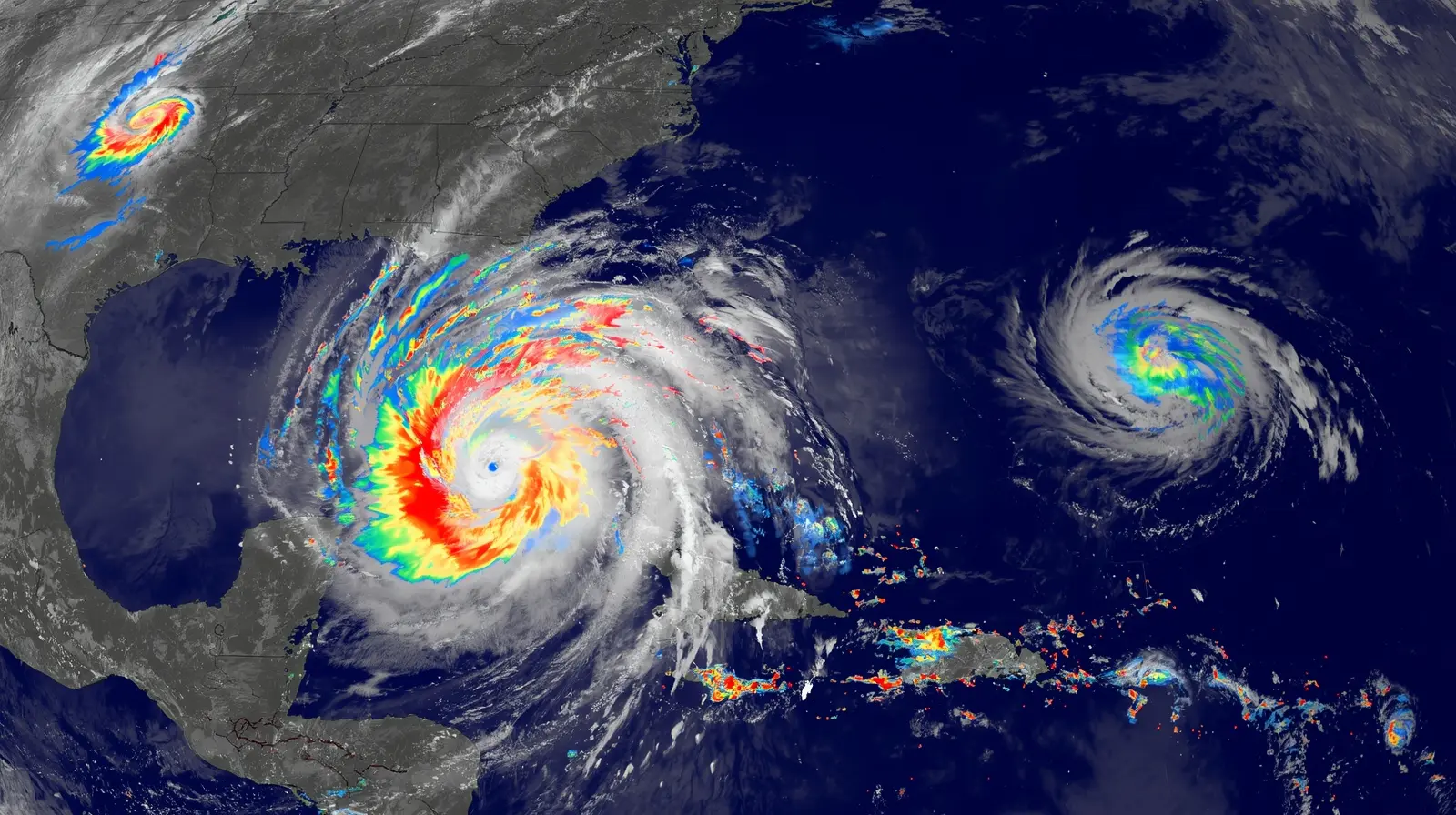
Hurricane Erin: A High-Impact Exception
Hurricane Erin intensified to category 5 in hours, affecting the northeast Caribbean and generating dangerous surf along the East Coast of the USA. Erin proves that even quiet seasons can produce powerful hurricanes, emphasizing that storm intensity and potential disruption are more critical than storm count.
Late-Season Hurricane Risks
Historically, hurricanes developing after ocean temperature peaks tend to be stronger and more destructive. Coastal areas must stay vigilant, as warmer waters and weaker opposing winds allow little preparation time for late-season storms.
Conclusion: A Quiet Peak, But the Season Is Far From Over
The 2025 hurricane season demonstrates a paradox: warm waters with dry winds have suppressed activity, yet historical patterns indicate that significant storms can still develop. Preparedness remains vital, as tropical weather can oscillate between silence and destructive activity. 2025 reminds residents and meteorologists alike of the unpredictability of Atlantic hurricanes.
Stay updated with reliable news:
Sports: Sport Flash HQ
Business: Biz Rush
Weather: The Climate Post
Travel: Neon Report
US Local: 24 Hour Bulletin
India Finance: The Lucky Ledger
General: The Chrono Post